Explore

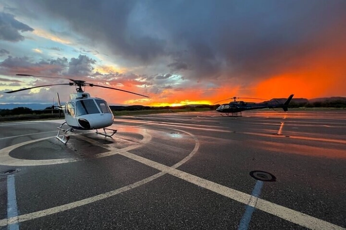
Mogollon Rim Sunset 80 Miles Sedona Helicopter Tour

Image 0
Image 1
Image 2
Image 3
Image 4
Image 5
Image 6
Overview
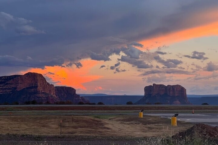
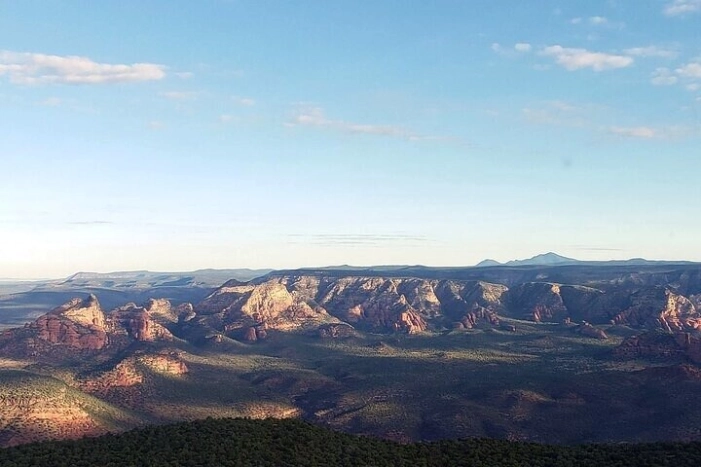
The Mogollon Rim helicopter tour spans 3 wilderness areas that are extremely hard to get to any other way. We start out from the Sedona Airport for immediate, amazing views right as we take off! We then fly around Sedona showing off the famous rock formations before heading deep into the canyons to show off the ancient ruins. Our route includes the Sycamore Canyon, Secret Mountain, and Munds Mountain wilderness areas where you will have the opportunity to see all of the ancient ruins included in the shorter tours plus many more! Our pilots are trained by the most experienced in the area and know where ruins are that have been lost for centuries! This tour covers everything all of our other tours cover so if you want it all at sunset, this is it!
City: Sedona
Sun 15 Jun
Other dates
i
You can choose the date already on the booking website
Starting at $978.00
Sun 15 Jun
Starting at $978.00
Make a reservation
What's Included
Noise reducing headsets with microphone
6 forward facing seats
Air conditioning
Additional Info
  • Service animals allowed
  • Public transportation options are available nearby
  • Infants are required to sit on an adult’s lap
  • Suitable for all physical fitness levels
What To Expect
1
Cathedral Rock
Cathedral Rock is a natural sandstone butte near Sedona, Arizona, and one of the most-photographed sights in Arizona, United States. The rock formation is located in the Coconino National Forest in Yavapai County, about 1 mi (1.6 km) west of Arizona Route 179, and about 2.5 mi (4.0 km) south of the "Y" intersection of State Routes 179 and 89A in uptown Sedona. The summit elevation of Cathedral Rock is 4,967 ft (1,514 m).
2
Bell Rock
The Bell Rock Pathway is a 3.6-mile trail. Along this pathway you'll enjoy fantastic views of Bell Rock, Courthouse Butte, and other landmarks.
3
Courthouse Butte Loop Trail
The trail continues a gentle climb circling to the west of Bell Rock. It levels out and curves to the north below the slopes of Bell Rock.
4
Chapel of the Holy Cross
The Chapel of the Holy Cross is a Roman Catholic chapel built from 1954 to 1956 into the red rock buttes of Sedona, Arizona, within the Coconino National Forest. It was inspired and commissioned by local rancher and sculptor Marguerite Brunswig Staude, and was designed by August K. Strotz of the firm of Anshen & Allen, with Richard Hein of the firm as the project architect. The chapel is under the auspices of the episcopal see of the Roman Catholic Diocese of Phoenix and its ministry is conducted by St. John Vianney Parish, Sedona.
5
Snoopy Rock
Stunning Views from mountains, sedona and the surrounding areas. Sunset exceptional. Don't forget to take a ride with Pink Jeep.
6
Brin's Mesa Trail
Brins Mesa, located near Sedona, Arizona, is a popular hiking destination offering stunning views of the red rock formations and is known for its easy to moderate trails, including the Brins Mesa Trail No. 119, which leads to the mesa top.
7
Soldier Pass Trail
Soldier Pass Trail in Sedona, Arizona, a popular hiking destination in the Coconino National Forest, leads to Devil's Kitchen sinkhole, Seven Sacred Pools, and Soldier Pass Caves, offering stunning views and a moderately challenging hike.
8
Thunder Mountain Trailhead
Check out this 3.0-mile loop trail near Sedona, Arizona. Generally considered a moderately challenging route, it takes an average of 1 h 15 min to complete.
9
Devil's Bridge Trail
Devil's Bridge is the largest natural sandstone arch in the Sedona area. Don't let its name fool you: it's one of the most heavenly sights in an area famous for them.
10
Seven Canyons
In 1956, Jack Snyder had a vision. He found a 200-acre parcel in the wilderness and visualized a master-planned real estate development centered around a golf course. Many years and many hurdles later, Seven Canyons was born in the heart of the red rocks, and Jack’s dream was finally realized.
11
Doe Mountain Trail
Doe Mountain in Sedona, Arizona, is a popular hiking destination offering panoramic views of the surrounding red rock formations and Verde Valley, and is considered a moderate hike
12
Cockscomb Loop Trail
Known as "Cockscomb Butte" by most people and located on the Southern end of Sedona, The Cockscomb is one of the last prominent summits that you will encounter in this beautiful area if you are heading south.
13
Long Canyon Trail
Long Canyon is a canyon in Navajo County, Arizona. The head of Long Canyon is at 36°50′04″N 110°28′08″W. Laguña Creek has its headwaters at the mouth of Long Canyon, where the creeks from Long Canyon and Dowozhiebito Canyon have their confluence at an elevation of 6,322 feet (1,927 meters) at the head of Tsegi Canyon.
14
Boynton Canyon Trail
The trail starts out by skirting a luxury resort that was recently built here. It quickly returns to the canyon floor where the walking is pleasant and easy.
15
Birthing Cave
Try this 1.9-mile out-and-back trail near Sedona, Arizona. Generally considered a moderately challenging route. This is a very popular area for hiking.
16
Sycamore Canyon
Sycamore Canyon, a scenic canyon in Arizona, is located southwest of Flagstaff and west of Sedona, and is known for its red rock cliffs, soaring pinnacles, and desert riparian areas.
Show 13 more stops
Cancellation Policy
For a full refund, cancel at least 24 hours before the scheduled departure time.

Related events

Events in the same area